Since the late 19th century, indemnity insurance has been the go-to method for protecting farmers against perils such as hail, drought, flood, frost, heatwaves, and windstorms. But as extreme weather events become more frequent and severe, cracks in this system are widening. Indemnity policies often involve lengthy claims processes and fail to address catastrophic risks effectively.
Willis Towers Watson (WTW) is among those stepping in with parametric insurance – a faster, more transparent, and flexible alternative. Unlike traditional indemnity cover, parametric policies pay out when a pre-agreed trigger, such as rainfall below a certain threshold, is met. This approach eliminates the need for on-site loss assessments and accelerates financial relief for farmers.
Technology at the heart of risk transfer
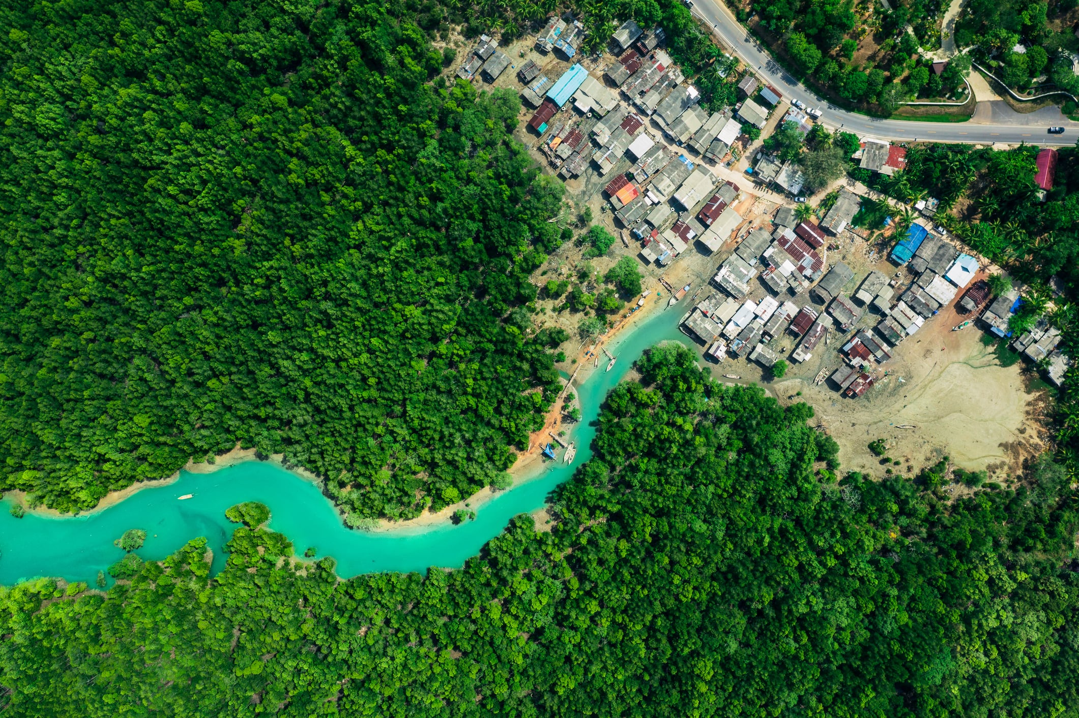
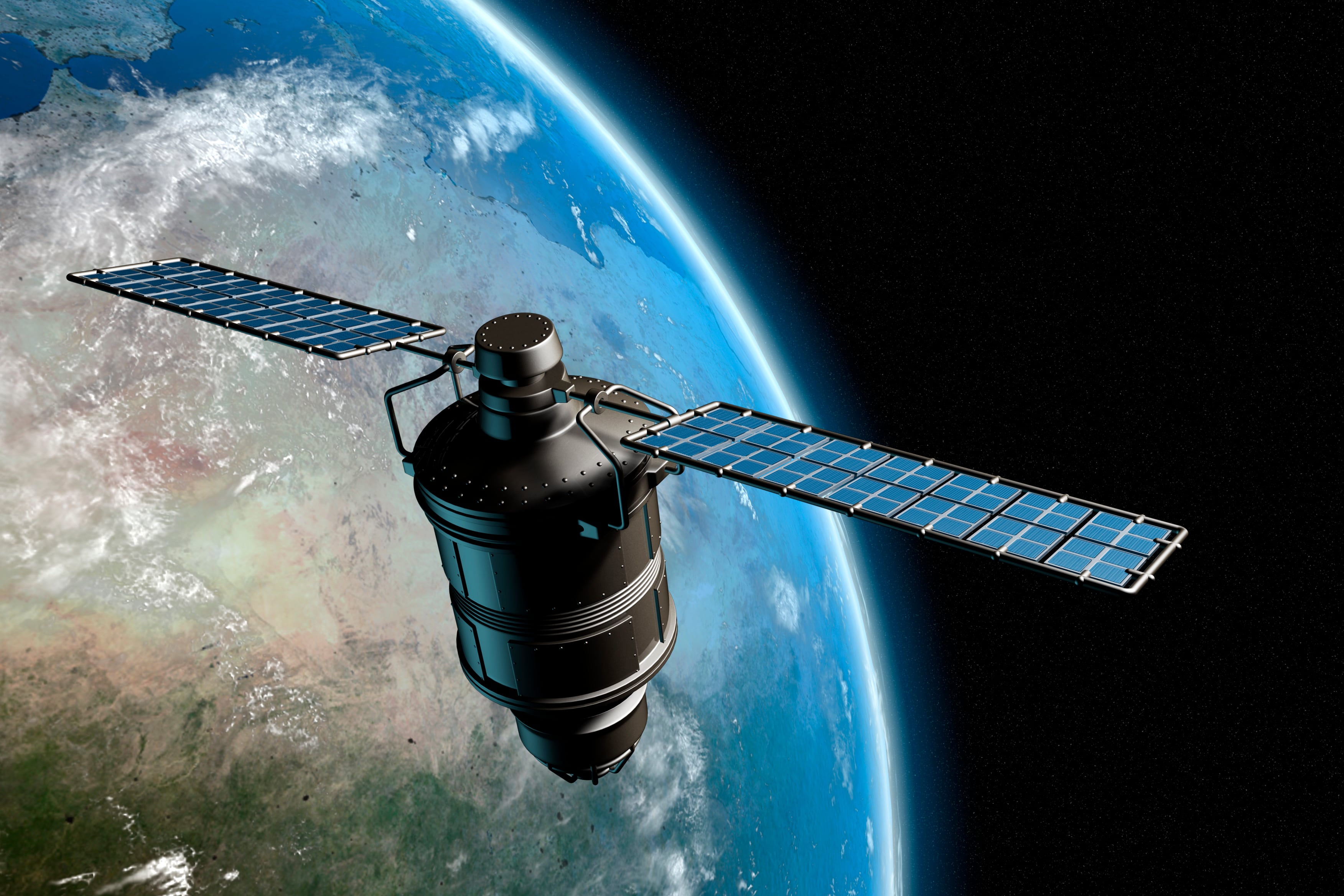
WTW’s parametric solutions leverage satellite data, including Synthetic Aperture Radar (SAR) imagery for flood risk, and integrate crop growth simulation models to predict yields with remarkable accuracy. Farmers provide details such as crop type, soil conditions, and location coordinates. From there, WTW monitors daily weather inputs – rainfall, temperature, humidity – via satellite feeds and runs simulations to estimate end-of-season yields.
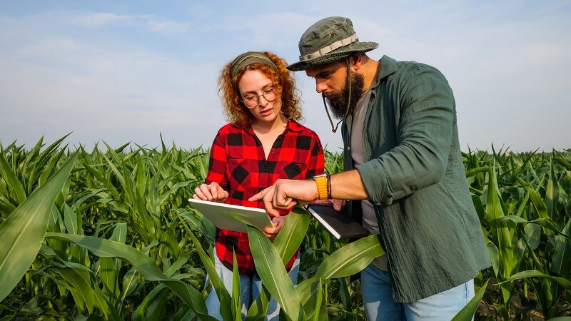
“The wonderful thing about that is particularly in a place like Australia, which is so vast, we don’t need to visit your farm,” said Julian Roberts, Managing Director, Risk & Analytics (Alternative Risk Transfer Solutions) at WTW. “We’ve got grid coordinates, and the rest is down to using very smart technology to access the right weather parameters and run the crop growth model.”
This high-resolution, hyperlocal data replaces reliance on distant meteorological stations, which often fail to reflect actual farm conditions. The result? Faster, more accurate payouts and risk management tailored to individual farms.
Global reach and diverse applications
WTW’s parametric products are already protecting Australian cereal growers from income volatility caused by drought and excessive rainfall – risks amplified by La Niña and El Niño cycles. Similar solutions are being deployed for livestock farmers in Ethiopia, where satellite imagery measures pasture greenness to trigger payouts before cattle suffer from feed shortages. “That’s a prevention rather than rather than cure,” Roberts said. “Using these technologies enables things to happen that simply couldn’t otherwise happen, which is why I think is really exciting.”
Beyond crops and livestock, WTW offers forest fire insurance and frost protection for vineyards in France, using on-farm sensors to capture hyperlocal temperature data. “Temperature is hyperlocal,” Roberts explained. Putting sensors in vineyards gives precise readings that matter for frost insurance, rather than relying on averages from the nearest weather station.
Expanding beyond the farm gate
WTW sees growing demand not only from farmers but across the agricultural supply chain. Commodity traders, input suppliers, and food processors are increasingly exposed to climate risk. “You don’t just have to be a farmer to be at risk,” Roberts said. “We have commodity traders on our books who don’t grow anything but rely on crop availability. They buy insurance to guarantee supply.”
As climate volatility reshapes global agriculture, WTW aims to attract more clients in this extended ecosystem, offering solutions that safeguard production, stabilize supply chains, and ultimately keep food flowing to consumers.
Extreme weather is no longer an occasional disruption – it’s a structural challenge for agriculture. By combining satellite technology, crop modeling, and parametric triggers, WTW is hoping to redefine how risk is managed in farming and beyond. For farmers and agribusinesses, this means faster payouts, better resilience, and a fighting chance against the unpredictability of climate change.


