Innovations in Earth observation, satellite data management, and artificial intelligence (AI) are set to transform farming operations, leading to more efficient and sustainable food production. With over 27 future space missions approved for vegetation monitoring and 12 for soil moisture-tracking, experts predict a significant impact on the global agricultural supply chain in the coming decades.
A new era of data-driven farming
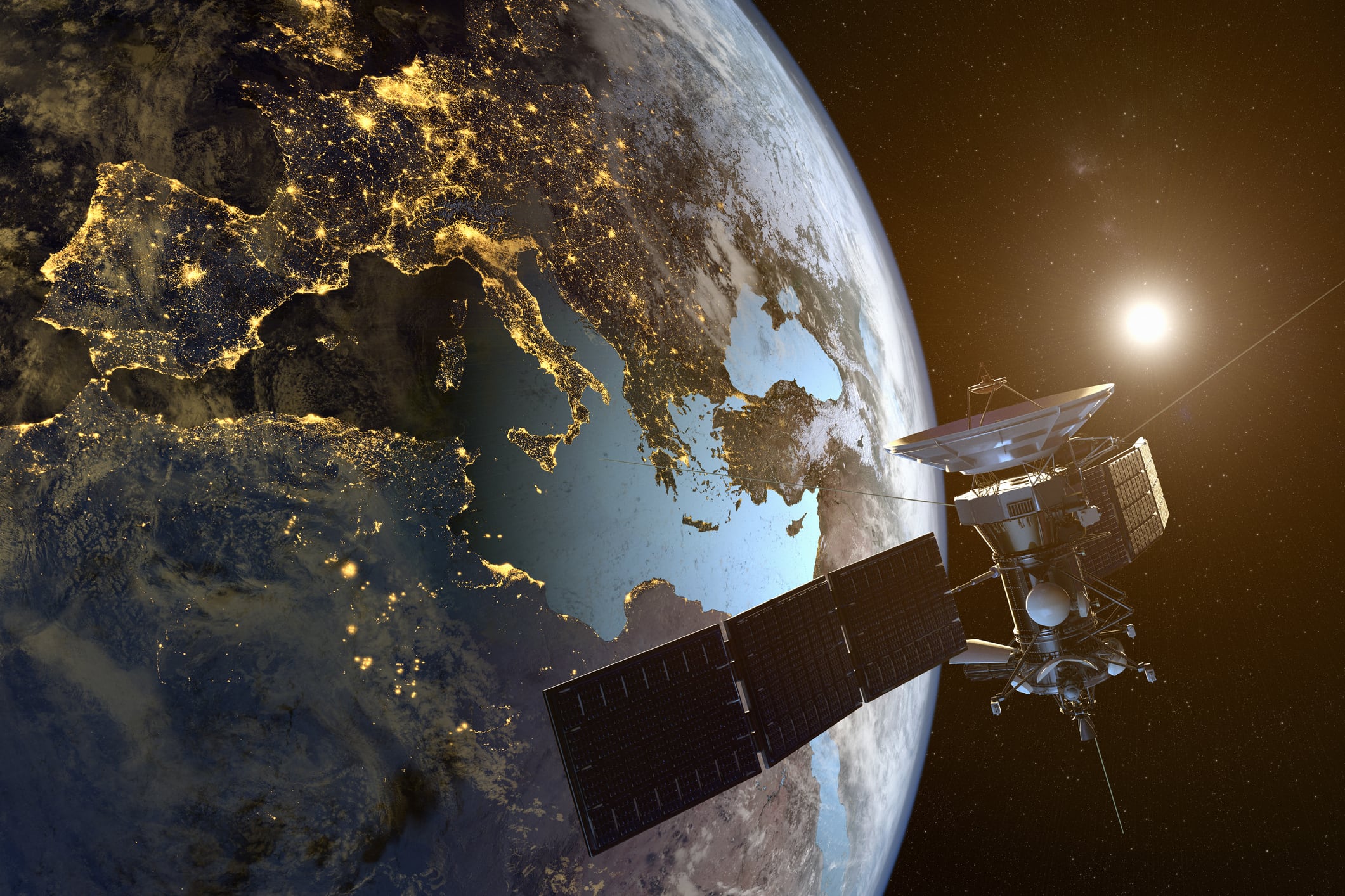
Satellites have long played a role in agriculture, but the next generation of space missions is expected to extend their capabilities even further. According to the CEOS Missions, Instruments and Measurements (MIM) database, upcoming satellite missions will use cutting-edge sensors, including optical, hyperspectral, infrared, and radar technologies.
These tools will provide farmers with real-time, high-resolution data, enabling precise crop health monitoring, soil conditions, and climate impact. This means farmers need no longer rely on outdated or limited information, and can use timely insights to enable better decision-making and efficiency.
The rise of space start-ups
Space technology’s increasing accessibility has led to a boom in private sector investment. Start-ups worldwide have been launching dedicated agricultural satellites, further improving the availability of critical farming data. US-based company EOS Data Analytics (EOSDA), for instance, is developing EOS SAT, a constellation of seven Earth observation satellites designed specifically for agricultural applications like soil monitoring and climate impact assessment.
European companies are also making strides. For example, Polish start-up SatRev is collaborating with the National Support Centre for Agriculture to develop a Satellite System Monitoring Agricultural Crops (S2MUR) to support both government and individual farmers. Meanwhile, Germany’s ConstellR is set to deploy four high-resolution VEgetation (HiVE) satellites to monitor surface temperatures and improve crop health tracking.
In doing so, these start-ups are driving innovation by making satellite data more accessible and useful for farmers. Instead of waiting for national agencies to process and distribute data, farmers can now receive updates directly from private satellite networks.
Faster, smarter data with satellite edge computing
One of the biggest challenges satellite data faces is the delay in processing and delivery. Traditional ground-based operations require satellites to transmit data to ground stations before it can be analysed, a process that can take hours or even days. However, advancements in satellite edge computing are changing that.
With edge computing, satellites in orbit can process data in real-time. This allows farmers to receive alerts on climate conditions, drought risks, or pest outbreaks almost instantly, instead of waiting for ground stations to analyse and distribute the information.
This real-time data access could revolutionise disaster response in agriculture. In cases of extreme weather events, farmers will be able to take immediate action, minimising crop loss and ensuring more stable food production.
Data harmonisation and AI: The future of precision agriculture
With a growing number of satellites collecting agricultural data, standardisation and integration have become essential. The Harmonized Landsat and Sentinel-2 (HLS) initiative is a major step toward this goal. This collaboration between NASA and the USGS combines data from different satellite missions, improving consistency and enabling seamless integration with AI-driven analytics.
Data harmonisation ensures satellite images from different sources can be used together. This enhances precision agriculture, where AI-driven models analyse combined data sets to predict yield, optimise irrigation, and even suggest the best planting strategies.
AI is rapidly becoming a key player in agricultural technology. Machine learning algorithms can process vast amounts of satellite data, identifying patterns and trends that would be impossible for human analysts to detect. These AI-driven insights can help farmers reduce costs, increase yields, and adopt more sustainable practices.
Smartphone apps and ground-truth data
In addition to satellite technology, advancements in ground-truth data collection are making agricultural insights even more precise. Farmers can now use smartphone apps equipped with GNSS (Global Navigation Satellite System) technology to capture real-time data on soil conditions, crop health, and pest activity.
These apps allow farmers to contribute valuable on-the-ground data, which, when combined with satellite observations, can create a much clearer picture of what’s happening in the field. Governments and international agencies are working to ensure this real-time data is freely available, further accelerating technological improvements in precision agriculture.
Automated machinery and irrigation optimisation
Space technology is also advancing the use of autonomous farm equipment. GNSS-enabled tractors and drones are already improving efficiency in seeding, fertilisation, and pest control, and the integration of AI and satellite data is expected to take automation even further.
Autonomous machinery can now operate with pinpoint accuracy. Every seed and drop of water can be optimised based on real-time data, enabling waste reduction and increased productivity.
Water management is another area in which space technology is making an impact. New remote sensing tools, including microwave and SAR (synthetic aperture radar) technologies, can provide real-time soil moisture-monitoring, helping farmers optimise irrigation and as such, prevent water wastage.
The role of quantum computing in agricultural data management
Looking ahead, quantum computing could further revolutionise agricultural data analysis. Unlike traditional computers, which process data sequentially, quantum computers perform multiple calculations simultaneously, dramatically reducing processing times.
If quantum computing can be successfully applied to satellite data, it could unlock insights at an unprecedented scale. The potential benefits for agriculture are significant, and can range from predicting climate patterns to optimising land use.
A more resilient agricultural supply chain
The integration of space technology into agriculture is not just about increasing efficiency — it’s also about creating a more resilient global food supply chain. With better monitoring, predictive analytics, and real-time decision-making tools, farmers will be better equipped to handle climate change, resource shortages, and growing food demands.
Space technology is offering farmers and other agriculture industry professionals the tools to produce food more sustainably. Taking advantage of such innovations can help the industry reduce waste, protect natural resources, and ensure food security for future generations.
Addressing gaps to enable progress
The report concluded by urging stakeholders to consider ways to “fill gaps in the existing use of space technology intended for agricultural applications to achieve food security goals”. It also stated that they should aim to “strengthen collaboration and promote space sustainability by sharing resources from space segment to user segment infrastructure”.
Furthermore, the FAO and UNOOSA should work closely to better understand the diverse needs of the agriculture sector, from local to global level. This includes scaling up capacity-building and technical assistance efforts in satellite data use.
Key initiatives should include targeted training programs, data-sharing frameworks, and improved knowledge transfer mechanisms. Existing collaborations could also expand to enhance access to satellite-based data and services, ensuring wider adoption of innovative technologies.
Public-private partnerships will also play a crucial role in this effort. Through the use of AI, new sensors, and real-time ground information, the FAO and UNOOSA believe alignment between different industry segments and both commercial and public sector capabilities can be strengthened.


